

Your guide to the road less travelled
If you’re looking for the road less travelled, hit the gas – the rugged highways of Canada’s Northwest Territories are gateways to a world you never knew existed. The highways that wander through the tundra and wildlife-lined trails of the Northwest Territories see few visitors each year. What they do offer is the Northwest Territories at its wildest and most free.
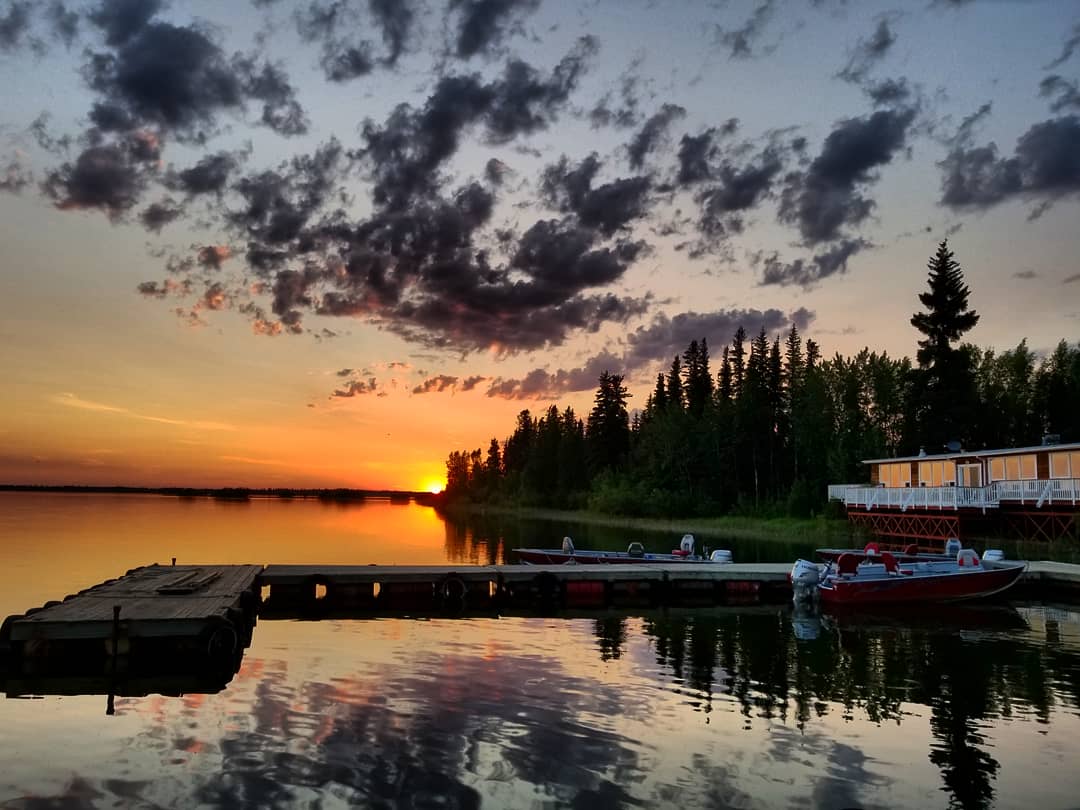
Here, you’ll find an endless hinterland of evergreens, virgin rivers and lakes so big they could pass for freshwater seas. Fishing spots and duck-ponds dot the roadsides, while bison and bears walk the centerlines, unfazed by the occasional motorist. That’s the charm of this place: Whether it’s the woods, the wildlife, or the colourful locals whose traditions remain vibrantly alive, what you’ll witness on a Northwest Territories roadtrip is the real deal.

Mackenzie Highway
Alexandra Falls:
Kilometre 72: The first roadside pull-off in the Northwest Territories is a good one: the Alexandra Falls overlook in Twin Falls Gorge Territorial Park. Here, just metres from the highway, the Hay River leaps over a 33-metre-high cliff and into a sheer-sided gorge. The three-kilometre walking trail from here to the somewhat less steep, but no less impressive, Louise Falls, downstream, is a great way to stretch your legs after the long haul from Northern Alberta.
Lady Evelyn Falls:
Kilometre 167: Seven kilometres down a sideroad is another of the Northwest Territories’ impressive cascades: crescent-shaped, 17-metre-high Lady Evelyn Falls on the Kakisa River, not far downstream from the traditional, log-cabin village of Kakisa. There’s an idyllic, piney campground here, and good fishing at the base of the falls.
Sambaa Deh Falls:
Kilometre 323: The highlight of the route toward Fort Simpson is Sambaa Deh Falls. Here, almost directly beneath the highway-bridge, the Trout River tumbles into a canyon and explodes into furious whitewater. A trail downriver leads to good fishing in the gorge; upriver is the more placid Coral Falls. The nearby campground is peaceful and verdant.
Fort Simpson:
Kilometre 474: Founded some 200 years ago as a fur-trading post called Fort of the Forks, this laid-back little town lies at the sweeping confluence of the Mackenzie and Liard Rivers. It’s this area’s regional hub, the gateway to Nahanni National Park Reserve, and a place where the North’s past remains very much present. While you’re here:
At the visitor centre, arrange a tour of historic McPherson House and the cabin of eccentric Nahanni-area trapper Albert Faille.
Stroll along the riverfront and through Papal Flats, where thousands gathered to welcome Pope John Paul II in his landmark visit to the North in 1987.
Take a daylong flightseeing tour of Nahanni National Park Reserve, with stops at 30-storey-tall Virginia Falls and mountain-flanked Little Doctor and Glacier Lakes.
Franklin Mountains:
Kilometres 594-694: Rugged mountains arise an hour past Fort Simpson on the gravel road to Wrigley. Here, after ferrying across the Mackenzie at Camsell Bend, you’ll encounter the rolling Franklin Range, the territory’s easternmost peaks. Hilltop vantage points are numerous, offering big views of the river and the distant, and even more impressive, Mackenzie Mountains.

Dempster Highway
Tombstone Territorial Park:
Kilometre 71: The Tombstones are a set of sawtoothed, gravity defying spires. Viewing them from your vehicle is great; taking a hike to get a closer view is even better. The nearby Dempster Interpretive Centre can give you details.
Arctic Circle:
Kilometre 329: The Arctic Circle is the North’s most intriguing invisible landmark, and the Dempster is the only highway to cross it. Here, at a scenic pull-off amid the Richardson Mountains, you can park your car during the night of the summer solstice and watch the sun not set.
Inuvik:
Kilometre 734: Here, where the Dempster Highway dead-ends just upstream from the Arctic Ocean, Canada’s largest Arctic town was purpose-built half a century ago. Now with more than 3,000 residents, Inuvik – constructed entirely on pilings to prevent it from melting into the permafrost – is the regional centre of the Western Arctic and the gateway to several impressive parks. While you’re here:
Explore area craft shops specializing in Dene and Inuit art or, even better, visit during the mid-July Great Northern Arts Festival.
Continue on to Tuktoyaktuk on the Inuvik to Tuktoyaktuk Highway, ending at the Arctic Coast, where some of the world’s largest pingos erupt from the landscape.
For the more adventuresome, use Inuvik as the jumping-off point for adventures in Tuktut Nogait or Aulavik, or to historic Herschel Island.

Yellowknife Highway
Bison:
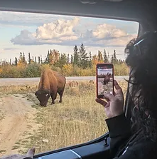
Kilometres 25-245: Among the Northwest Territories’ various highway-side beasts, by far the most visible are the wood bison that stroll along the Fort Providence–Behchoko corridor. Larger and darker than their southern cousins, these ungulates seem to enjoy the highway’s bug-beating breezes. If they’re on the road – and they almost always are – keep your distance, stay in your vehicle, and don’t disturb them.
Great Slave Lake:
Kilometre 232: This highway flanks the world’s ninth-largest lake. Alas, except for a few viewpoints, Great Slave is veiled by roadside boreal forest. Your first chance to gaze at the water comes at North Arm Territorial Park, a picnic area lapped by the chilly surf. This is a good place to launch a kayak or, if the day is boiling hot, cool off with a lightning-quick dip in the water.
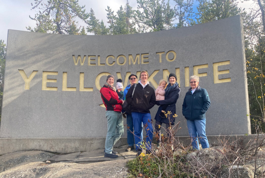
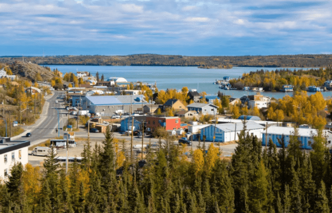
Yellowknife:
Kilometre 340: Yellowknife has a big appeal to visitors, thanks to its scenic setting on outcrops overlooking Great Slave Lake, and due to its diversity of sights, shops and eateries. With nearly 20,000 people, the city is the territorial capital and its business and government hub. The gold mines that led to Yellowknife’s founding in the 1930s are now all closed, but diamond-mining north of the city has added new sparkle to the economy. While you’re here:
Stroll (or paddle) around Old Town, where goldrush-era shacks jostle for lakeside space with architecturally elaborate homes.
Check out the Prince of Wales Northern Heritage Centre, the North’s biggest museum, with displays on Indigenous and non-Aboriginal culture and history.
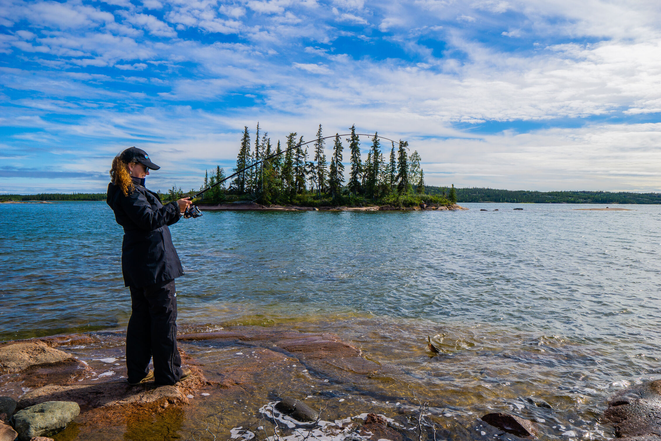
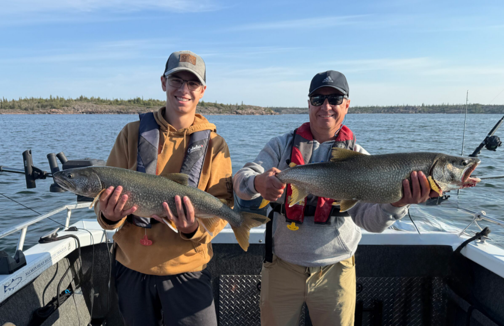
Take a flightseeing tour to Great Slave’s East Arm, where granite cliffs drop into pristine bays and outsized Trout swim in the deepest lake-waters on the continent.

Ingraham Trail
Prelude Lake:
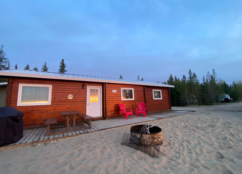
Kilometre 28: Just a few clicks off the Ingraham Trail in a territorial park, this big lake is Yellowknife’s cottage country. On sunny summer days, hikers and mountain-bikers populate the boreal trails; power boaters and canoeists ply the waters; kids and sun-worshippers luxuriate on the little beach; and campfires and barbecues are everywhere.
Cameron Falls:
Kilometre 46: From the parking lot, a one-kilometre trail undulates through aspen, spruce and jackpine to reach a precipice overlooking this 17-metre-high froth of whitewater – a cross between a waterfall and a really big rapids. Just upstream, a pedestrian bridge takes you to the far side of the cascade.
Tibbitt Lake:
Kilometre 67: At the end of the Ingraham Trail, this is where, in winter, the territory’s famous ice-road heads off toward the diamond mines. In summer, it’s a different kind of trailhead: the put-in for several of the excellent day- and multi-day canoeing routes found along the Ingraham Trail.

Fort Smith Highway
Wood Buffalo National Park:
Kilometre 96: The North’s original national park and Canada’s second-biggest, Wood Buffalo is a Switzerland-sized preserve established in 1922 to protect rare, one-tonne wood bison. More than 5,000 of the beasts now patrol the park, along with other creatures like endangered whooping cranes and the continent’s highest-latitude reptiles, red-sided garter snakes. Visitors can view these animals from the park’s campgrounds and trails, or by going paddling or taking flightseeing tours.
Sinkholes:
Kilometre 106: Just inside Wood Buffalo National Park is the sizable Angus Sinkhole. It’s an example of the area’s “gypsum karst topography,” meaning it was created when subterranean water eroded the rock, leaving a big crater in the landscape. A trail circles the crater, and there’s a firetower, picnic site and playground here, too.
Salt Plains:
Kilometre 231: From here, a narrow, rutted 13-kilometre sideroad leads to one of the North’s weirdest places: the salt plains of Wood Buffalo National Park. From the overlook and trails you can get a good view of this crusty white moonscape, the result of saltwater welling up from an ancient seabed. Strange, saline-tolerant plants are all that thrives here. Keep an eye out for wildlife tracks embedded in the ground.
Fort Smith:
Kilometre 267: Once the territory’s de facto capital, sleepy Fort Smith perches high on the banks of the Slave River at the terminus of the old portage-route around the furious Slave River Rapids. Now a government and education centre, the town is a friendly mixture of First Nations, Métis and non-Aboriginal cultures. While you’re here:
- Check out the excellent Northern Life Museum and Cultural Centre, with displays on everything from the revolutionary Conibear trap, invented by local Frank Conibear, to Canus, the whooping-crane sire who largely saved his species from extinction.
- Walk the extensive boreal trails along the Slave River, where pelicans fish in the rapids and world-class whitewater kayakers come to play.

Liard Trail
Alaska Highway Junction:
Kilometre 0: Less than 30 kilometres north of the Northern B.C. gas-and-lumber town of Fort Nelson, the Liard Trail joins the Alaska Highway, permitting travellers to make a vast loop through the Northwest Territories: up the Liard Highway, east along the Mackenzie Highway and back down through Northern Alberta. Alternatively, the drive up the Liard Trail to Fort Simpson is a diverting sidetrip for Alaska-bound motorists.
Fort Liard:
Kilometre 109: Six kilometres west of the highway is little, riverfront Fort Liard. There’s a campground here that’s popular with buffalo, and a visitor centre/giftshop that sells just about the finest Dene crafts in the territory, including birchbark baskets decorated with dyed porcupine quills.
Blackstone Landing:
Kilometre 288: This idyllic campground, halfway between Fort Liard and Fort Simpson, is washed by the broad Liard River just downstream from its confluence with the Nahanni. Across the river the Mackenzie Mountains loom. Inside the interpretive centre are interesting displays on area history and culture; outside are bears (sometimes) and mosquitoes (always).
Related Stories
Intriguing tales from Canada's Northwest Territories


Activities
Activities
Activities
Activities

Activities
Activities
Activities
Activities

Activities
Activities
Activities
Activities
Activities

Activities
Activities

Activities

Activities

Activities

Activities

Activities

Activities


Activities

Activities

Activities

Activities

Activities

Activities
Activities

Activities

Activities

Activities

Activities

Activities
Activities

Activities

Activities

Activities

Activities

Activities

Activities

Activities

Activities

Activities

Activities
Activities
Activities

Activities

Activities

Activities
Activities

Activities


Activities

Activities

Activities

Activities

 Member
B. Dene Adventures Inc.
Member
B. Dene Adventures Inc.
Member
Your Dene Connection in Yellowknife. B. Dene Adventures is a Traditional Dene Culture Camp business which teaches the Dene way......

Member
Polar Pack Arctic Adventures
Member
We are an Inuvialuit owned and operated family business, run by locals Enoch and Amanda Pokiak, based in Inuvik in the Western......

Member
Northern Lights Tour
Member
Northern Lights Tours is an adventure-focused tour company dedicated to providing authentic experiences just like the locals do! Our expert guides will ensure you’re in the right place at the right time to witness the stunning Aurora Borealis. We also offer thrilling snowmobiling and ice fishing trips, immersing you in the beauty of the Northwest […]...

Member
Simpson Air
Member
Simpson Air (and its predecessor) is the oldest continuously-operated flying service in the Mackenzie Valley, established in the early 1960s.......

Member
Nahanni Mountain Lodge
Member
Remote private wilderness paradise on Little Doctor Lake, 100 km west of Fort Simpson. Accommodates 20 in cabins. Fishing, swimming,......

Member
Ji Guang Tour
Member
With over 30 years of living in Yellowknife, we offer a variety of tourism experiences for our guests. We are......

Member
Brabant Lodge
Member
With us, you will find a unique Northern fishing experience with no distractions. Our amenities include Starlink Wi-Fi, standard queen-sized......

Member
Arctic Motorcycle Adventures
Member
Our vision is to see the Beaufort-Delta Region of Canada’s western arctic become the dream destination for motorcycle adventure enthusiasts from......

Member
Bluefish Outfitting
Member
With Bluefish Outfitting you’ll get an unforgettable trip of a lifetime. Bluefish Outfitting offers personalized, guided fishing trips and boat tours on......
Member
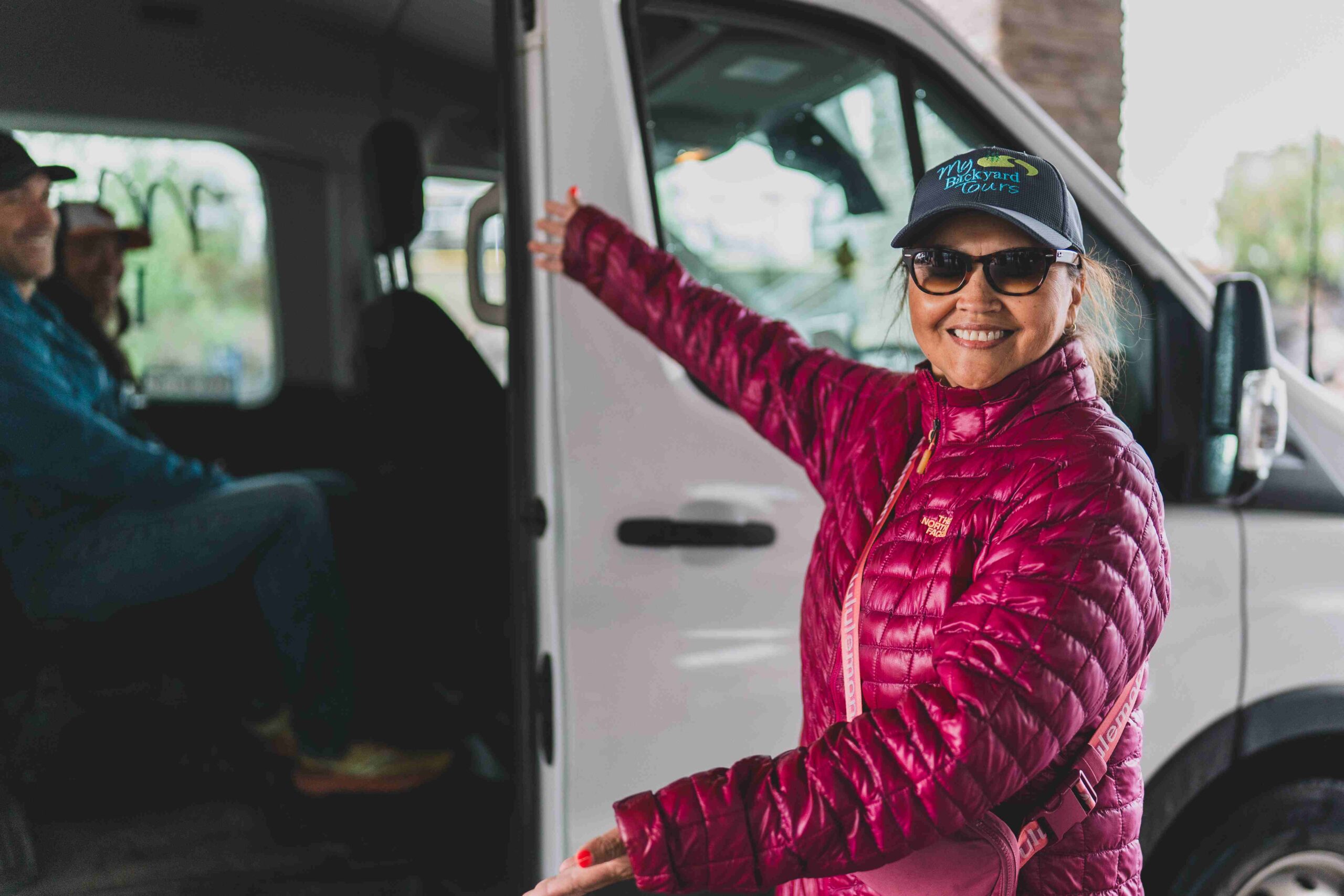
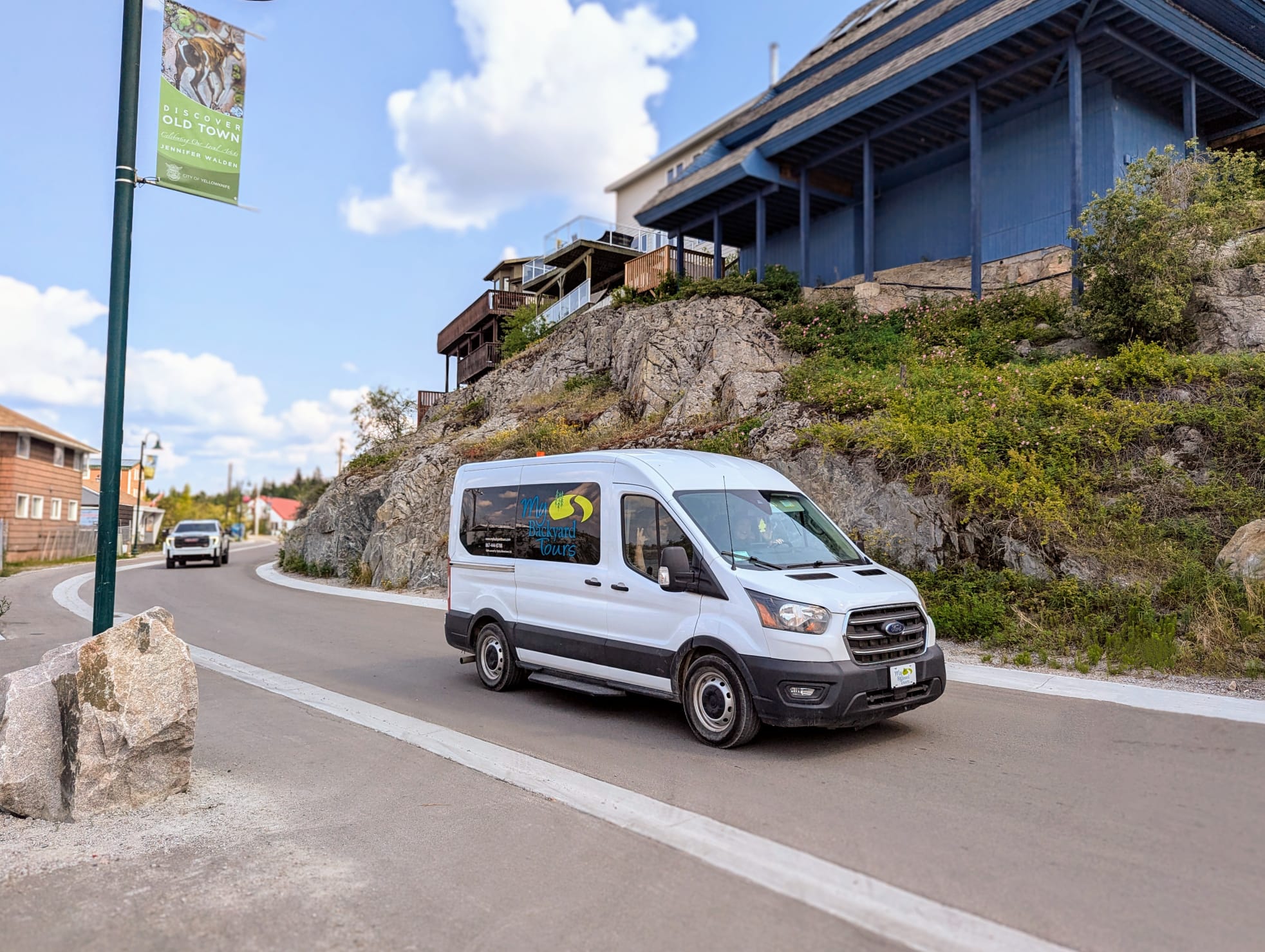
My Backyard Tours
Member
Welcome to My Backyard Tours, 100% Indigenous owned and guided Tours in Yellowknife, NWT. Year-round guided tours & winter clothing......

Member
Great Slave Lake Tours
Member
Great Slave Lake Tours offers winter and summer trips on Great Slave Lake, the ninth biggest lake in the world......

Member
Kasba Lake Lodge
Member
World Class Fishing Within Reach Yet Beyond Belief For 3 generations we have been honing the Kasba experience to be like no-other. Our level of hospitality, dedication to the fishery, and a legendary passion for the experience that permeates through our entire team is undeniably contagious. No matter what you’re looking for in your fishing […]...

Member
Yellowknife Tours
Member
Come experience world-class Aurora Borealis viewing in Yellowknife, Northwest Territories, Canada. We are the only guides in the Northwest Territories......

Member
NWT Charter Services
Member
Charter the bus. Tour the North. Explore more. Local tours, private transfers, and charter travel in Yellowknife! See below for some of our Local Tour options: Aurora Hunting (Bus or Private SUV) Aurora Viewing at Cabin and Teepee Sightseeing City Tours Bison & Wildlife Tours Waterfall & Nature Hiking Tours Art Gallery, Writing Cultural Tours Multi-Night Aurora […]...

Member
Blachford Lodge
Member
What began as a “part time fishing lodge” has now become a “full time Aurora Wilderness Lodge” open year round......
Member
Raven Tours
Member
Authentic aurora and northern experiences in Yellowknife, guided by a locally owned and operated team. Raven Tours is a locally......

Member
Tah-Chay Adventures
Member
Join us for an unforgettable experience on the mighty Mackenzie River. Day trips are available for a full or half......

Member
Goose Flying Service
Member
We are a small air service with two bush planes based in Fort Simpson. Operating on floats throughout the summer......

Member
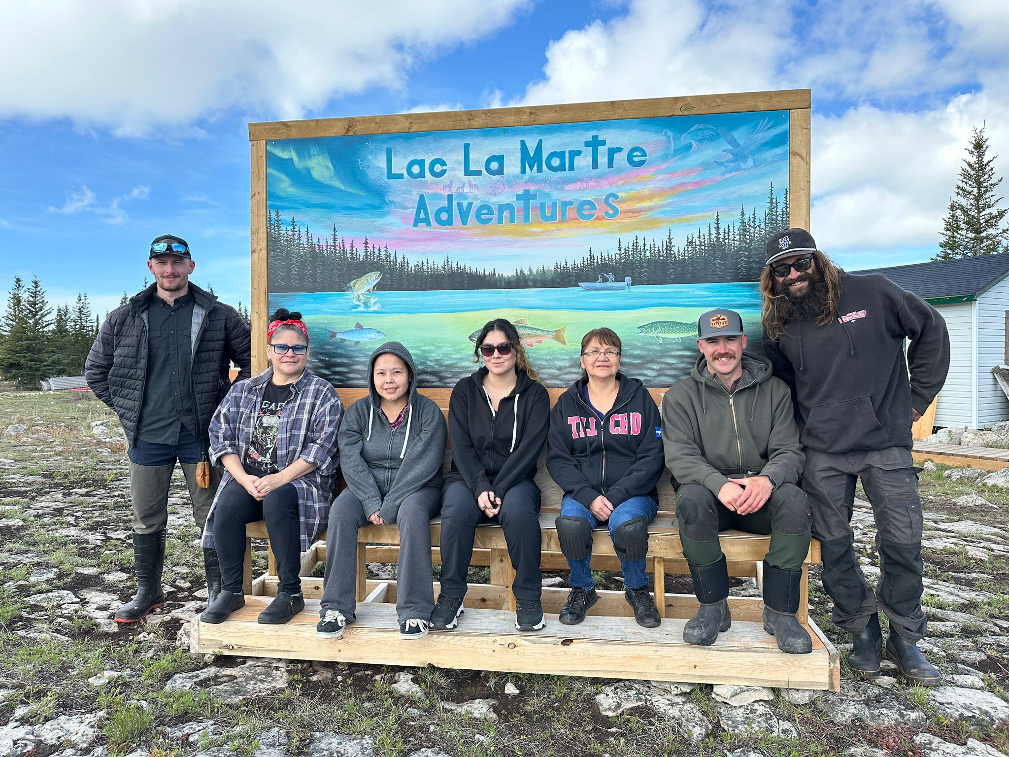
Lac La Martre Adventures
Member
“Like No Other Place On Earth” We are the only fly-in lodge located a 50 minute float plane flight from......
Member
Dancing Skies Photo Tours
Member
Dancing Skies is a new tour operator in Yellowknife, led by an experienced northern lights chaser and photographer with a passion for contemplation. Specializing in private tours and small groups of up to 5 people, we prioritize silent, serene observation and photography of the aurora, far from the crowds. With expertise in Space Weather data, […]...

Member
Yellowknife Sportfishing Adventures
Member
Yellowknife Sportfishing Adventures is the premier guided fishing and wilderness experience in Yellowknife, Northwest Territories, on the doorstep of the......

Member
Yellow Dog Lodge, Inc.
Member
Yellow Dog Lodge is a comfortable lodge with 3 private cabins for our guests. The lodge is a short (15 minute) floatplane ride from Yellowknife. Located on Duncan and Graham Lakes, the lodge is your hub for adventure. Choose from an additional 5 lakes for guided day trip excursions. Each lake is unique and offers unspoiled first class fishing. We are the only lodge that operates guided trips on each of these remote lakes located in the NWT taiga wilderness. Packaged trips feature superb sport fishing and safe outdoor adventure. The lakes and streams offer the finest Lake Trout, Northern Pike, Walleye and Arctic Grayling in the region. As an added bonus, our guests will enjoy the midnight sun and may even catch the northern lights later in the fall or early spring....

Member
Arctic Tours Canada
Member
Arctic Tours Canada is a Yellowknife based tour operating company that offer Aurora Hunting and Viewing tours, Yellowknife sightseeing tours,......

Member
Sonny Aurora Tours
Member
Join us on an Aurora hunting adventure. Our skilled tour guides know all the best places around Yellowknife to capture......

Member
Nonacho Lake Fishing Adventures
Member
Creating Memories for a Lifetime Nonacho Lake Fishing Adventures offers trophy lake trout and northern pike fishing. Wildlife abounds at......
Member
Casting North Fly Fishing Company
Member
Casting North Fly Fishing Company offers unforgettable half-day and full-day guided fly fishing trips....

Member
Old Town Glassworks
Member
Etching popular northern designs on unique 100% recycled glass, since 1994. Visit our gift shop in Old Town or come......

Member
Ahmic Air Ltd.
Member
Floatplane charter service using classic DHC-2 Beaver aircraft based in Yellowknife’s historic Old Town. Sightseeing flights over Yellowknife and surrounding......

Member
Yellowknife Outdoor Adventures
Member
For a Great Northern Experience! Yellowknife Outdoor Adventures offers a variety of day trips ranging from 2 to 10 hours......

Member
Destination NWT Ltd.
Member
Destination NWT Limited is a tourism operator located in Yellowknife, Canada. DNWT specializes in outdoors adventures, aurora photography, and cultural experiences: Best rated Snowmobile Tour, winter gears included, exciting trail riding Aurora Tour in a Luxurious lakeside Lodge Unique Aurora tour while Ice Fishing indoors Full panoramic moonroof vehicle for Aurora Viewing DNWT’s tours allow […]...

Member
Arctic Chalet Tours
Member
Best Northern Road Trip! Now you can drive all the way to the Arctic ocean linking Canada from coast to......

Member
Black Feather - The Wilderness Adventure Company
Member
For over 50 years, Black Feather has had the opportunity to operate canoe, hiking and sea kayaking expeditions throughout the......

Member
Bucket List Tour Company
Member
We operate a fully equipped luxury coach and offer City Tours, Aurora Tours and tours to the Nahanni National Park Reserve......
Member
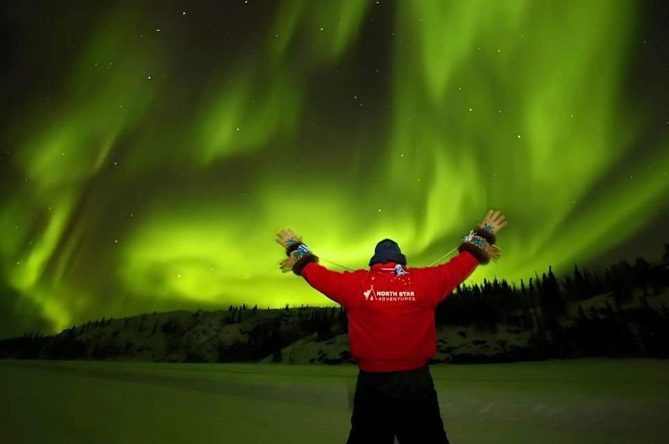
North Star Adventures
Member
100% Indigenous owned! Experience the spirit of the untamed Canadian north with a 100% Indigenous owned tour company. Journey with an Indigenous tour company that still lives by the traditions of our ancestors. Feel the heartbeat of the land as we share the stories, wisdom, and spiritual connections that have been passed down from generation to […]...

Member
Nahanni River Adventures
Member
Spectacular river journeys on Canada’s most iconic rivers. Travel with expert guides by raft or canoe and immerse yourself in......

Member
Łı́ı́dlı̨́ı̨́ Kų́ę́ Tourism
Member
We are the Łı́ı́dlı̨́ı̨́ Kų́ę́ got’ine. People of the community of Łı́ı́dlı̨́ı̨́ Kų́ę́, “the place where rivers come together”, in......

Member
Jackpine Paddle
Member
Unplug from the commonplace with our Northwest Territories canoe and kayak expeditions. We specialize in true wilderness adventures to the......

Member
Canoe North Adventures
Member
For over 30 years, Canoe North Adventures has made it our mission to create spectacular memories for life, and to show......

Member
Gana River Outfitters Ltd.
Member
Gana River Outfitters is a family owned and operated outfitting business offering remote wilderness hunts in the beautiful Mackenzie Mountains......
Member
Arctic Range Adventure
Member
Your unforgettable journey to the North starts here! With amazing new highlights for experiential travelers all our day tours and guided round-trips offer a great variety of summer and winter activities, which will leave all our guest with unforgettable memories. Arctic Range Adventure offers a unique range of exceptional experiences in the Arctic region, Yukon […]...
Member
Hiking Yellowknife
Member
Hiking Yellowknife offers authentic, guided hiking experiences in the heart of the Northwest Territories, providing adventure tourists, business travelers, and families with safe, customized, and informative outdoor excursions. With 20 years of local experience, the owner/operator delivers an unparalleled connection to the land, blending outdoor adventure with rich knowledge of the region’s natural and resource […]...

Member
Trail Blazer Tours
Member
Book an adventure with us at Trail Blazer Tours for an unforgettable experience! Your adventure with us will create lasting......

Member
Enodah Wilderness Travel/ Trout Rock Lodge/Enodah Kennel
Member
Enodah Wilderness Travel / Trout Rock Lodge/ Enodah Kennel offer high-quality Aurora viewing experiences by night and dogsled tours by......

Member
Scott Lake Lodge
Member
One of the finest Pike and Lake Trout waters in North America, on the 60th Parallel. Enjoy luxurious private cabins......

Member
Aylmer Lake Lodge
Member
DISCOVER A MOMENT THAT LASTS A LIFETIME. Aylmer Lake Lodge is located in Rocknest Bay, which is on the Barren......

Member
Peterson's Point Lake Lodge
Member
Peterson’s Point Lake Lodge provides you access to known waters teeming with monster lake trout. Their current record is a......

2 Seasons Adventures is a family-owned company. Our professional guides boast a lifetime of experience enjoying the unique lifestyle of......

Canada has a deep love for our natural resources with diamonds being the highest expression of love. Thanks to Canada’s world class standard for sustainable mining, we are custodians of our precious lands and take great pride and care releasing these rare gems. From the moment our land is surveyed to the final reclamation (the […]...

Red Cliff Adventures has a traditional camp that is located in Lutsel K’e, on the shores of the East Arm,......

“Unforgettable remote fishing experience” We are the only lodge located on this fly-in only lake. With only 8 guests per......

Ena Lake Lodge is a one-of-a-kind, all-inclusive luxury fishing and outdoors experience in Northern Canada. Come and experience authentic fly-in......

Tundra North Travel is an Inuit company based in Inuvik, Northwest Territories that was established with the dream of being......

Canoe North, located in Hay River, Northwest Territories offers kayak and canoe rentals and sales. We can set you up for a......

Northern and Remote Wilderness Adventures Ltd. (NARWAL) is a small, friendly, majority Aboriginal owned and operated family business. Our reputation......

Commercial air charter service providing air support for hikers on Canol Road, sightseeing in the beautiful Mackenzie Mountains, and fly-in fishing......

Arctic Adventure & Wildlife viewing on the edge of the tree line of Canada’s Northwest Territories. Lynx Lake 400 km......

If you are looking for an Aurora Experience of a lifetime in Yellowknife – the best place in the world to......

Our goal is to provide unique customized services for high-end customers. We excel at making personalized tours. You can see......

Create your own story. We offer a variety of services to make your Sahtu adventure a reality! We offer everything from......

Air Tindi is an airline company based in Yellowknife offering flights to a number of diverse destinations within Canada’s spectacular Northwest Territories!......

Exceptional fishing on Gordon Lake, 100 km northeast of Yellowknife. Fish for Lake Trout, up to to 56 lbs! Fly in by......

Pehdzeh Ki First Nation is located in the community of Wrigley, Northwest Territories, Canada. We are a Designated Authority in......

An Indigenous, family owned business with much history, knowledge and stories to share about the Spectacular Northwest Territories! We used to operate Dene culture camps in the mid-1990s, teaching students, parents and visitors about NWT key cultural experiences and outdoor learning. Angela James as camp coordinator, Scott McQueen as camp storyteller. Mamma & Pappa – the […]...

Welcoming and friendly with a rustic charm and all modern conveniences, Grey Goose Lodge immediately catches your eye as you......

For 35 years, Sambaa K’e has offered world-class fishing on Trout Lake just north of the Northwest Territories-British Columbia border.......

Chuck Gruben is an active Inuvialuit hunter and trapper very knowledgeable in the Tuktoyaktuk area offering customized tours (hunting, hiking,......

Fishing and Barrenlands wildlife photography, including migrating caribou, at the Obstruction Rapids in the central Barrenlands north of Yellowknife....

Remote naturalist’s lodge snuggled in the Mackenzie Mountains, in the largest mountain wilderness in North America. Located along the Canol......
To truly experience the Northwest Territories, take your camping gear for a highway driving adventure! Long ribbons of road without......
