
Find out more about the current wildfire and wildfire-related concerns in the NWT.

Home Attraction

Fort McPherson Tent and Canvas Shop

Lost patrol graves in Fort McPherson in the Northwest Territories

Established in 1970 to stimulate employment in Fort McPherson, this community-based enterprise combines traditional skills with current manufacturing and production methods to craft a wide selection of products.

From canvas tents and Tipis to Cordura nylon travel bags and even custom sewing projects, the Fort McPherson shop’s products are used by hunters, police, the military, surveyors and geologists the world over.

The shop’s speciality is a double-walled, straight-sided canvas tent, a staple for rugged backcountry camping trips in the North. These are the ultimate tents for the Arctic wilderness; they are sure sign of a serious adventure in the making. Fort McPherson travel bags are also widely sought after and have travelled all over the world.


The Igloo Church

The Igloo Church in Inuvik NWT

One of the most popular tourist attractions in Inuvik, a trip north of the Arctic Circle is not complete without a photo in front of, and inside, the Igloo Church.

This bleach-white building, capped by a silvery dome meant to imitate the Inuvialuit snow-houses of old, dates back to Inuvik’s early days as a planned community.

Built in 1960 by a team of volunteers, Our Lady of Victory church was designed by Catholic missionary Maurice Larocque – an experienced carpenter who had no formal architectural training. Construction was actually completed without a building permit because the government officials in Ottawa couldn’t understand Larocque’s blueprints.

Nevertheless, Larocque knew a thing or two about building in the Arctic. The round shape of the structure mitigates the damage caused by frost heaving. The church is also the only major building in Inuvik that doesn’t rest on piling. Its foundation consists of a bowl-shaped concrete slab on top of a bed of gravel. The gravel acts as insulation, stopping the heat of the building above from melting the permafrost underneath.

Wood for the church was floated down the Mackenzie River from Fort Smith, nearly 2,000 kilometres away. Inside, old hockey sticks were repurposed to floor a walkway in the cupola and the interior walls feature paintings of the Station of the Cross by local Inuvialuit artist Mona Thrasher.

Today, the church is a major landmark in downtown Inuvik and one of the town’s most-photographed structures. During the summer months, tours are available throughout the week and weekend.

Tetlit Gwinjik Territorial Park Day Use Area

Tetlit Gwinjik Territorial Park Day Use Area look out point in the NWT

Stop at this scenic pullout just south of Fort McPherson, off the Dempster Highway, and gaze out at all the beauty of the Mackenzie Delta – including the transcendent Peel River and the megalithic Richardson Mountains.

The Richardson Mountains parallel the northernmost part of the Yukon/NWT border. The mountain range, which rises to an elevation of 1.2 kilometres, was named in 1825 by Sir John Franklin after his surgeon, naturalist and co-Arctic explorer friend, Sir John Richardson.

It’s a great berry picking area, and is home to Dall’s sheep, moose, Arctic wolves and the occasional grizzly bear. One of the largest herds of barren-ground caribou, the Porcupine herd, migrates into the northeastern Richardson Mountains in early July.

The day-use area here features several interpretive panels detailing the region’s history and ecology, along with a boardwalk that leads to a must-see lookout.


Nataiinlaii Territorial Park

Nitainlaii Territorial Park

This park is perched on a cliff overlooking the Peel River and surrounded by stands of white birch and white spruce trees. It’s an ideal place to unwind for a few nights on the long journey up or down the Dempster. The visitor centre offers a fascinating glimpse of the life of the Gwich’in Dene people, past and present. There are 23 non-powered campsites here, plus washrooms, drinking water, a kitchen shelter and picnic area, and helpful staff.

Happy Valley Territorial Park

Kitchen shelter in the Happy Valley Campground in the NWT

Located right in the heart of Inuvik, this gorgeous park and campground is situated on a bluff overlooking the east branch of the Mackenzie River and the breathtaking Richardson Mountains.

Hike through Happy Valley’s scenic wilderness, dip your line into the river for unmatched fishing, or paddle these beautiful waters in a canoe. Then, remind yourself that you’re only a block away from the hustle and bustle of the Town of Inuvik’s many arts and attractions.

The park is open from June through September and offers 19 powered and 15 non-powered campsites, along with washrooms, showers, drinking water, a kitchen shelter, picnic area, playground, 24-hour security and helpful staff.

Jàk Territorial Park

Scenery at Jàk Territorial Park in the Northwest territories

Located just outside of Inuvik, Jàk Territorial Park features an observation tower with excellent views of the surrounding scenery and prime bird-watching opportunities. Watch out for hoary redpolls, bald eagles, yellow-billed loons, and more summer residents of these northern skies.

Jàk comes from the Gwich’in word for “berry,” and true to its name there is an abundance of tasty local berries growing in the park, including wild cranberries, blueberries and cloudberries.

The campground offers six powered and 32 non-powered sites, along with washrooms and showers, drinking water, a kitchen shelter, picnic area, trails, interpretive displays and attentive staff. Camping reservations at Jàk Territorial Park can be made online.

Ibyuk Pingo

A Pingo in the Northwest Territories

Erupting from the pancake-flat tundra just outside the community of Tuktoyaktuk is the bulbous, ice-filled mound known as Ibyuk, the second-largest “pingo” on Earth. These unique Arctic landforms provide a distinctive backdrop to this welcoming community at the end of the Dempster Highway.

Ibyuk is 305 metres (about 984 feet) wide at its base and rises to the height of a 15-storey building. Other pingos here range from five metres to 70 metres tall and represent different stages of growth, from budding newborns to elderly pingos that are shrinking and slumping back into the earth.

The Mackenzie Delta has the highest concentration of pingos on Earth – approximately 1,350 of them. Eight, including the famous Ibyuk and Split Pingo, are protected by Parks Canada in the 16-square-kilometre Pingo Canadian Landmark. The region was the first of what was to be a Canada-wide series of national landmarks proposed in the 1980s. The program, however, was never finished, leaving the pingos as Canada’s only official National Landmark.

For centuries, the pingos have acted as navigational aids for Inuvialuit travelling by land and water across this area. They were also of a convenient height for spotting caribou on the tundra or whales offshore. Today, the area is a popular tourist destination and the focus of scientific research to understand the origin and growth of these peculiar Arctic giants. Because of the delicate vegetation and permafrost active layer, walking on the pingos themselves is prohibited from April 15 to October 31. However, a boardwalk is in place to provide visitors with an opportunity to experience pingos up close.

The Mackenzie River (Dempster to Arctic)

The Mackenzie River in the NWT

The mighty Mackenzie River is the second-longest river in North America – after the Mississippi – and its tributaries drain a fifth of Canada. Its powerful waters rise in Great Slave Lake near Fort Providence and flow over 1,700 kilometres to the Mackenzie Delta and Arctic Ocean. This is the North’s original highway and a life-giving artery.

It’s believed prehistoric peoples followed the route of the Mackenzie valley over 10,000 years ago during the initial human migration from Asia to North America. The river was known as Deh Cho (“big river”) to the Dene who lived along its tributaries. The Inuvialuktun name, Kuukpak, means “great river,” and the Gwich’in name, Nagwichoonjik, means “river flowing through a big country.”

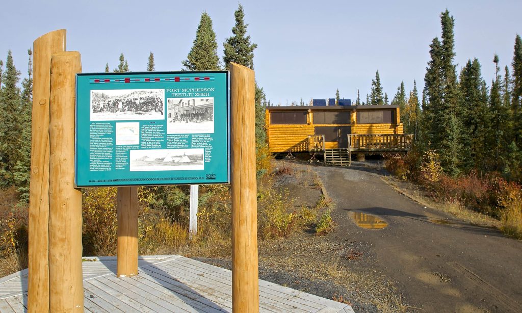
It takes its English name from Alexander Mackenzie, a fur trader from Montreal who explored its waters in 1789. Tiny seasonal trading posts called Forts were set up as a result, and evolved into the river communities of today. The ease of transportation the Mackenzie offered made it a central route for explorers, traders, and missionaries.

The Mackenzie continues to be a route for trade today, with tugs and barges delivering goods to communities from Great Slave Lake to the Mackenzie Delta, and from Alaska to Nunavut. Break-up on the mighty river is always a momentous occasion each spring as the waters once again come to life. The Mackenzie is usually free of ice by early June and stays open until about November.

Over 50 species of fish swim through these waters. Whitefish, Inconnu and Long-Nose Suckers all migrate between the Mackenzie and the Liard, its biggest direct tributary. Some 215 bird species have been recorded in the Mackenzie Delta, including species such as the whooping crane, peregrine falcon and bald eagle. Many migratory birds also use the Mackenzie for navigation each year. The Delta is also an important calving ground for beluga whales, while moose, minks, beavers, and muskrats are all found along the river banks.

The communities on the banks of this legendary river are likewise intrinsically connected to the mighty Mackenzie, which continues to play a vital part in shaping our spectacular NWT.

Driving Force

Red and Blue logo for Driving Force

We bring the experience of 43 years of solving transportation challenges to every new customer request. We welcome your logistical nightmares, impossible schedules, and elusive dreams. Business or pleasure, large or small, long-term or short-term, we’ve got vehicles to meet your most demanding jobs.

North-Wright Airways Ltd.

Northwestern Air Lease C-FCPE plane parked on runway in Fort Smith in the NWT.

North-Wright Airways is the Sahtu Region’s premier air service. We are located 145 km (90 miles) south of the Arctic Circle in the heart of the Sahtu Region, at Norman Wells, Northwest Territories and we have bases in Inuvik and Yellowknife. A family business, North-Wright Airways believes in providing our customers with nothing less than the best quality service at a competitive price.

Whether you are looking for a scheduled flight to move passengers or freight, or charter flights for freight, sightseeing, fishing or hunting, North-Wright Airways has the aircraft to meet your needs.