Find out more about the current wildfire and wildfire-related concerns in the NWT.

Home Story Rollin’ on the ice road

Rollin' on the ice road


Ice Road Truckers, the TV series, made Yellowknife trucker Alex Debogorski a star.

But the show’s other hero was the ice-road itself, leading north from Yellowknife to the Northwest Territories’ diamond mines. Here’s the science that underlies it:

Ice begins forming on lakes in the North in autumn. In December, helicopters carry workers out to measure the thickness. Once it reaches 30 centimetres, amphibious tracked vehicles are deployed to plow the road-route clear of snow. The biggest thing is getting insulation off the ice, and that’s snow.

Next, radar gauges thickness along the route. Anywhere it’s thin, it’s flooded. Once the road is 40 centimetres thick, large grooming machines plow it to its full 45-metre width.

As temperatures drop, thickness grows and more equipment can go on the ice. That allows construction of the road’s 64 portages – roads over top of the tundra between the lakes.

The road usually opens to light truck traffic just before February, when the ice hits 75 centimetres. Twin-tanker loads have to wait until it’s more than a metre thick, though. The road normally remains open into early April.

The flood

The deeper the water, the thicker the ice. Places where there are reefs and shallow parts tend to need focused flooding to bring up the thickness. 

The wave

For loaded trucks, max speed is 25 km/hr. Each passing truck bends the ice, creating a wave in the water under it. The faster the truck, the bigger the wave – and the more danger that the wave will blow out the ice.   


The turn

Just before the trucks approach land, the roads turn. That prevent these waves from hitting the shoreline directly in front of the trucks and blowing out the ice. 

The return

To prevent the waves meeting between oncoming trucks, there are sometimes northbound and southbound roads. Unloaded trucks can go as fast as 70 km/hr.

The portage

The biggest thing that usually shuts down the ice road is the portage. Trucks can’t run on eroding portages, as they become too slippery or thin. As warmer spring days rot the snow and ice on the portages, another season of the ice road comes to an end. 

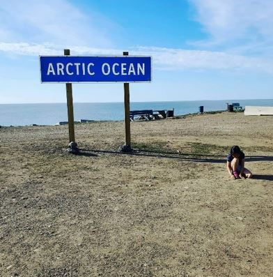
Best Northern Road Trip! Now you can drive all the way to the Arctic ocean linking Canada from coast to......

Arctic Tours Canada is a Yellowknife based tour operating company that offer Aurora Hunting and Viewing tours, Yellowknife sightseeing tours,......

Our vision is to see the Beaufort-Delta Region of Canada’s western arctic become the dream destination for motorcycle adventure enthusiasts from......

Inuvik is located 200km North of the Arctic Circle, on the East Cannel of the incredible ecosystem that is the Mackenzie Delta. We are located within the Taiga Forest just south of the treeline and Arctic Tundra. Inuvik acts as the gateway to the Western Arctic as the Mackenzie River, Dempster Highway and Inuvik-Tuktoyaktuk Highway […]...

Explore the wild splendor of the northern boreal plains, where whooping cranes call and bison roam free. Visitor reception centres......

The Deh Cho Travel Connection is a driving route that extends just over 1,800 kilometres from “Mile Zero” of the......

Up-to-date information about road conditions, ferry operations and ice bridges, as well as flight information, travel tips and links to......