The vibrant and cultured capital of the Northwest Territories awaits!
Your journey into the North Slave Region of the NWT begins shortly after crossing into the territory as you cross the Deh Cho Bridge near the town of Fort Providence – the only bridge to straddle Canada’s largest river, the colossal and majestic Mackenzie. Completed in 2012, the grand architecture of the bridge is matched by the powerful river beneath it as it flows from Great Slave Lake to the Arctic Ocean.
Just beyond the bridge is Fort Providence, an idyllic community along the banks of the Mackenzie River. Fort Providence is just one of many places to stop for a leg stretch on your way further North – watch the landscape slowly transform into the iconic rolling rocks and dotted lakes of the North Slave region.
Mackenzie Bison Sanctuary is a recommended diversion before heading to Yellowknife, although there will be no shortage of Bison sightings on the roadside as they amble about – just be careful when they cross the road at the same leisurely pace.
The road north to Yellowknife will take you through vibrant Dene communities such as Behchokǫ̀, or Dettah and N’Dilo just beyond Yellowknife. Each thriving community is rich with examples of traditional lifestyles. Visitors can learn about Dene history, culture, arts, and cuisine by getting out on the land with local experts.
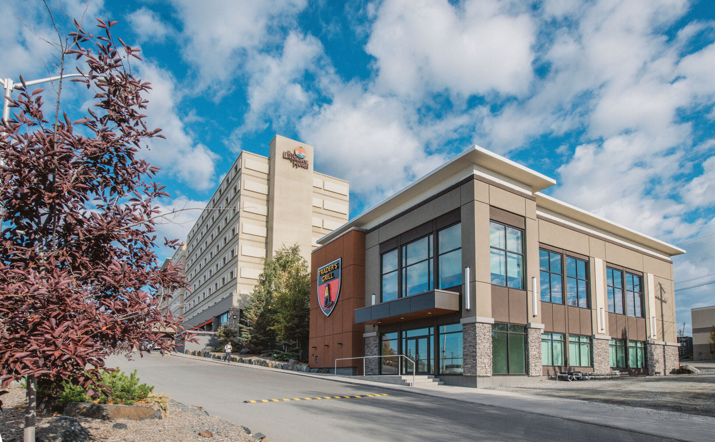
The city of Yellowknife is a destination to explore all on its own – full of great places to eat, experience the city’s culture, and find operators who will take you out on the land – but for those who are looking to continue their drive, the highway briefly enters Yellowknife’s city limits before continuing on to the Ingraham Trail.
The scenic Ingraham Trail is one of the North’s most storied routes, and an adventure-packed part of your road to adventure. Dotted along the highway are lakes, campgrounds, picnic sites and boat launches. Not only is the landscape ridden with scenic vistas of lakes but also vast Precambrian rocks and forests. You’re in a landscape like no other just a few minutes away from the city.
Along this route a variety of outdoor recreation opportunities are available, including hiking, swimming, boating, canoeing, fishing, and bird watching. Yellowknife River Territorial Park is a day use park and the first of nine parks along the Ingraham route. Located on the Yellowknife River, the park is a perfect place to enjoy a picnic or partake in some bountiful fishing.
From beginning to end, this route is full of options for memorable detours. You’ll want to stop at Bush Pilots Monument and Prince Wale Heritage Centre in Yellowknife, or Prelude Lake and hike Cameron Falls further up the trail. The Ingraham is also your gateway to several incredible canoe trips around Hidden Lake, Lower Cameron River and many more.