
COVID Message

The NWT is open to leisure travel. See information on COVID-19 travel guidelines

15 strange and dangerous places in Canada’s Northwest Territories

A mountain in the NWT wreathed in mist

15 strange and dangerous places in Canada’s Northwest Territories

You’ll agree: It’s weird at the top of the world

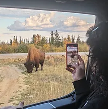
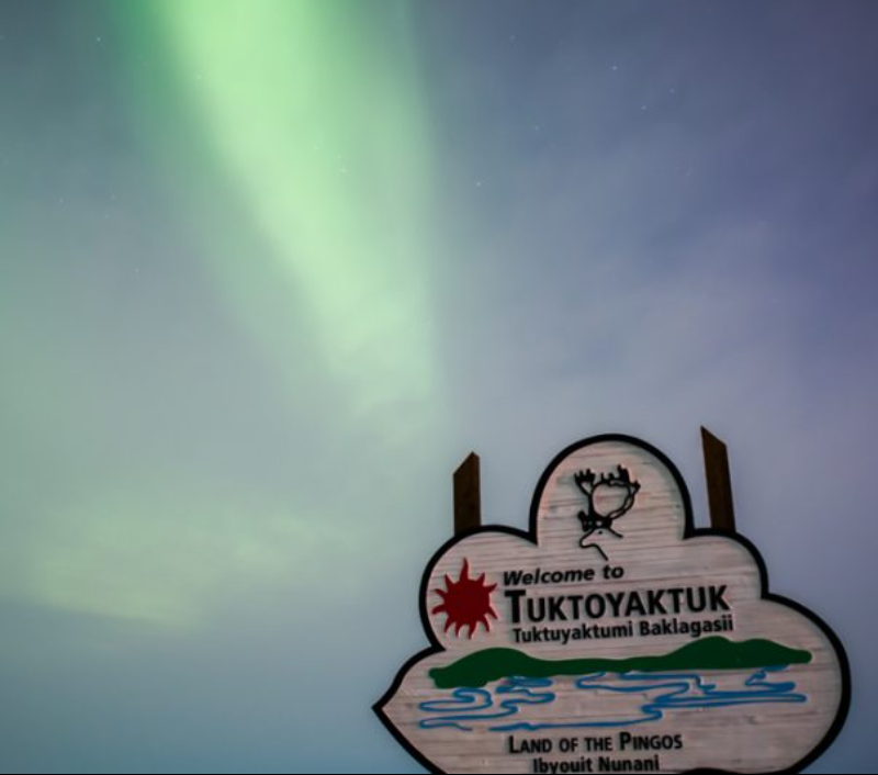
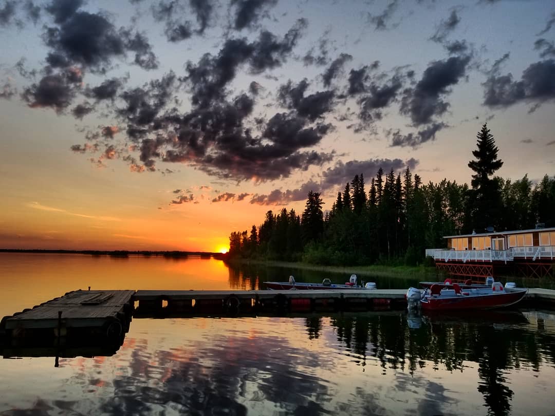
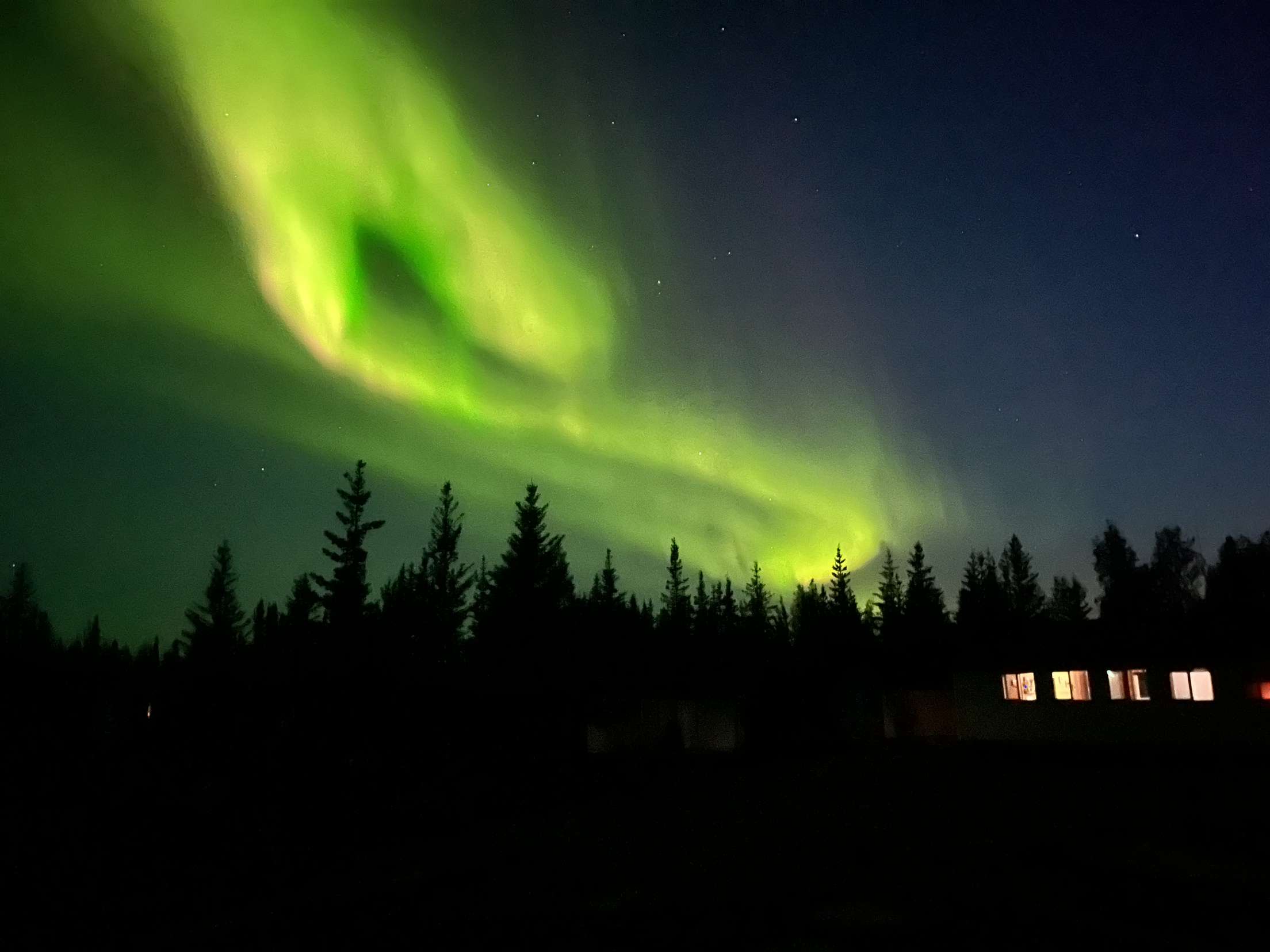
You can’t make this stuff up. During winters that plunge to 60-below, and summers where a day lasts for months, the world gets downright bizarre. Frozen volcanoes bulge from the tundra, erupting in super-slow motion. Lakes vanish, draining through a hole in the permafrost. Underground fires spit sparks into the Arctic night. And rivers rage with waves so big they're like a perpetual tsunami.

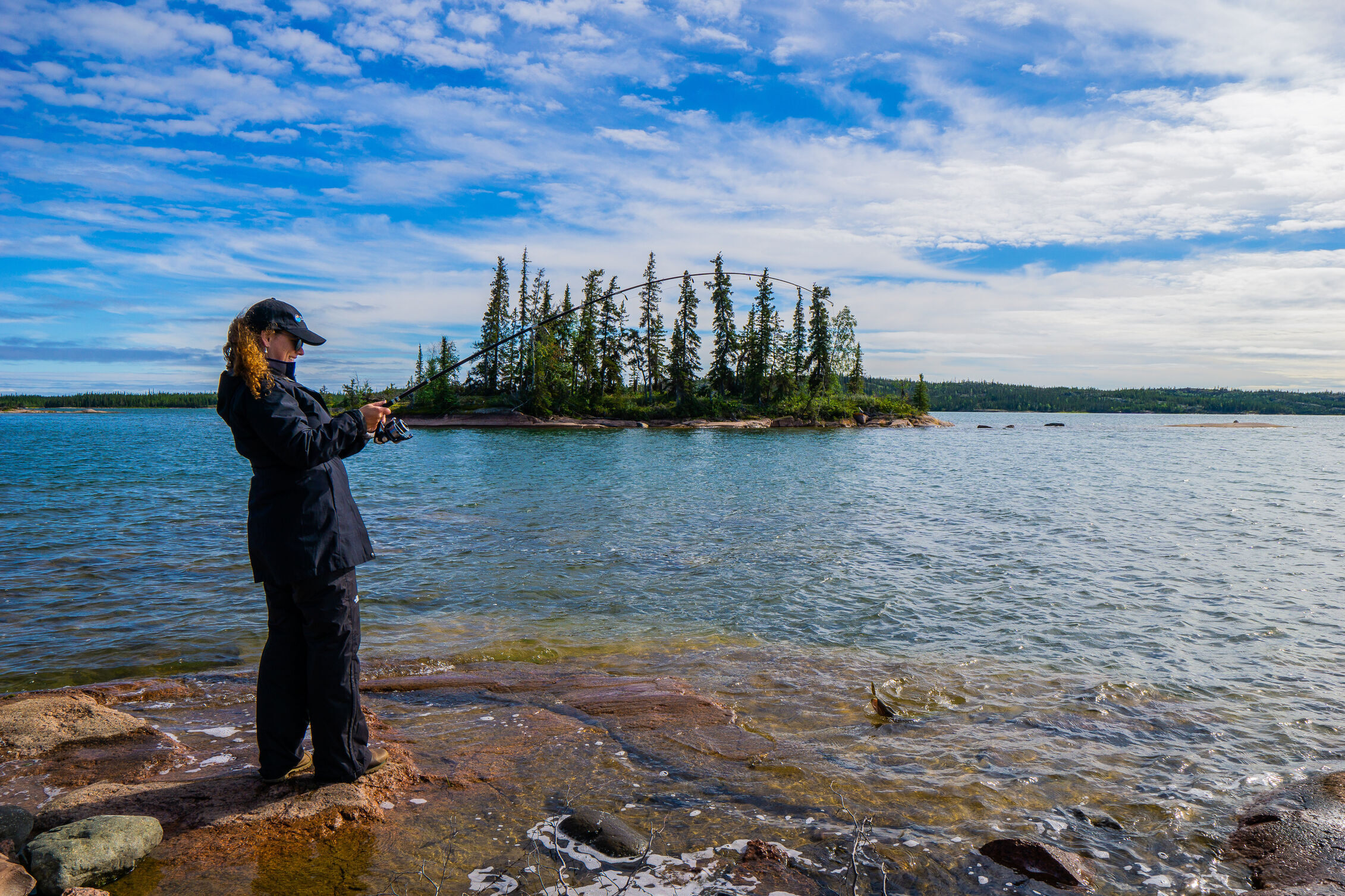
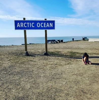
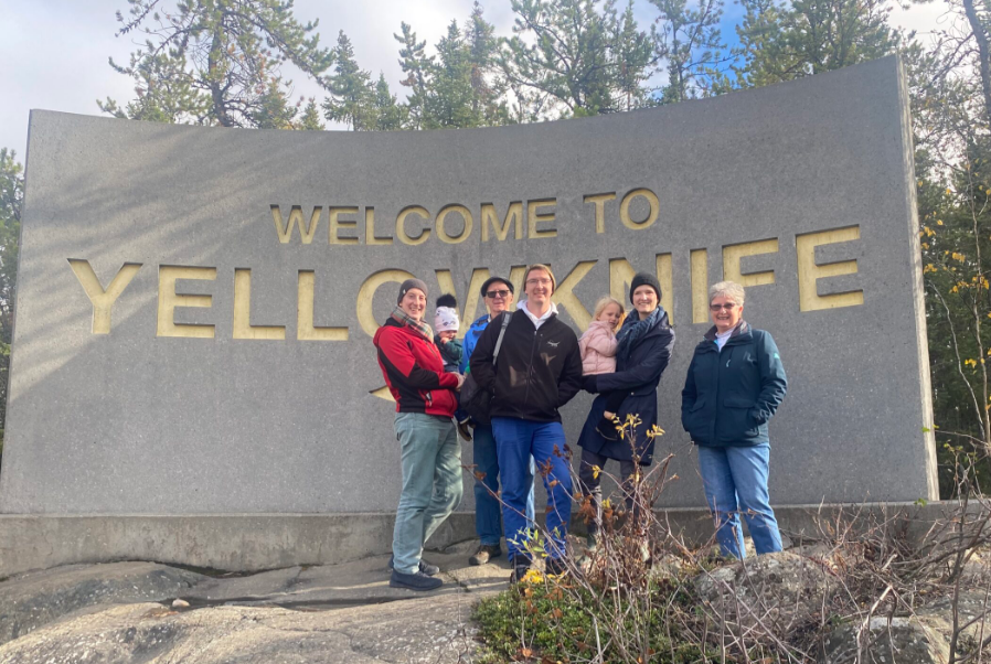
Up here, there are things you could never imagine. Welcome to the land of mystery – a place that truly is stranger than fiction.

Bear rock sinkhole appears as a water-filled cavern in a green landscape

Bear Rock Sinkhole

Between the towns of Tulita and Norman Wells, in the great roadless core of the Northwest Territories, dozens of sinkholes pit the forest – odd, disfinguring pockmarks in the face of Mother Earth. The most famous is this one, northwest of Bear Rock, with plunging sides and deep aquamarine waters. Scientists say it was formed by the collapse of a vast subterranean cave. 

A deep canyon lined with rocky cliffs

Scimitar Canyon

Nahanni National Park Reserve is slashed by all sorts of gaping gorges, but the most dramatic is this dangerous, dark, sheer-sided, unexplored incision – legendary Scimitar Canyon. It’s 20 kilometres long, very narrow and mysteriously deep. It was formed eons ago when the Ram River slit open the Ram Plateau, carving one fearsome chasm. 

People walk over hills lining a body of water, emitting dark steam.

The Smoking hills

On the shores of Cape Bathurst in the Western Arctic, the bleak Smoking Hills have smouldered for centuries, sending sulphuric soot billowing over the Northwest Passage. A place of fire and brimstone, the area is underlain with oil shales that spontaneously ignite when exposed to air. Just to the east is the community of Paulatuk – the name of which means, appropriately, “place of coal.”

A sheer-sided cliff traversed by only the most skilled mountain climbers

Lotus Flower Tower

Revered as "one of the most aesthetically beautiful rock faces in the world," Lotus Flower Tower is a sheer, breathtaking 2,200-foot cliff – one of the world's tallest, most severe walls of stone. The signature face in the Cirque of the Unclimables, this skyscraping escarpment attracts world-class alpinists. It's not for the faint of heart.

A person dives off the side of a boat into the cold waters of Great Lake Lake

The bottomless lake

Beneath Great Slave Lake’s whitecaps lies a deep secret – a mysterious, watery abyss unrivaled in North America. At a point not far offshore from the community of Łutselk’e, the lake-bottom falls away two-thirds of a kilometre – the deepest point in North America. It’s unclear how far down it goes. The official figure is 614 metres – 2,014 feet. But according to researchers who recently conducted bathymetric soundings, there are trenches that reach even farther down – by 30 metres, or maybe more.  

A truck broken through the ice road with only the cab protruding through the ice

The ice roads

Each winter the length of highway in the Northwest Territories doubles, as a network of ice roads are built atop frozen lakes, rivers and even the Arctic Ocean. Most of the routes are underlain by ice four feet thick – strong enough to hold up a jumbo jet. But every so often the highway gives way, threatening to send unlucky vehicles to their watery doom.  

A flat, clay-colored tufa mound in the Nahanni

Rabbitkettle Tufa Mound

Like a bizarre lunar stalagmite, the largest tufa mound in Canada rises near the shores of the Rabbitkettle River in Nahanni National Park. Thirty metres tall and 10,000 years old, the mound is formed by thermal springs that burble from the volcanic ground, leaching calcium carbonate that hardens into a crust of tufa.

A kayaker faces the rapids of the Slave River

The rapids of the drowned

The name's no joke. Where the vast Slave River crashes into the Precambrian Shield just shy of Fort Smith, it explodes into a maelstrom of house-high waves, log-eating whirlpools and galloping currents. The features have names that range from the sublime to the ridiculous – like Rollercoaster, Rockem Sockem, Land of A Thousand Holes, and the one pictured above, legendary Molly's Nipple. 

The shaft of con mine stands above a misty landscape

The bottom of con mine

Plunging 6,240 feet into the Earth's crust, the bottom of Yellowknife's defunct Con Mine is one of the deepest man-made points on Earth. Despite Arctic conditions up at the surface, miners at the base had to contend with sweltering heat. Indeed, at nearly two kilometres down, the mine is so warm that the city of Yellowknife has considered tapping its geothermal potential, pumping hot water from the depths to warm local buildings. 

A person relaxes on a meadow of green at the foot of craggy mountains

The Fairy Meadows

Described as a magical oasis in a cathedral of peaks, or as the eye of a mountainous hurricane, the legendary Fairy Meadow is the paradise of Nahanni National Park Reserve. A plush pasture, luxuriant with delicate alpine wildflowers, it is ringed by the impossibly steep Cirque of the Unclimbables – an amphitheatre of sheer peaks that beckon the best rock-climbers in the world. 

A lake in a barren landscape

The lake that fell off a cliff

Now you see it ... now you don't. A few years ago, residents of Fort McPherson were warned of the impending "catastrophic drainage" of this 1.5 hectare lake, about 20 kilometres west of the community. Soon after, in a massive, muddy, five-storey-high waterfall, the lake all but emptied – the victim of thawing permafrost, which undermined its embankment. No one was injured in the resulting flash-flood, but 30,000 cubic metres of water engulfed the downstream drainage. 

A pingo rises above the tundra landscape of the western Arctic

Ibyuk Pingo

The most popular attraction in Tuktoyaktuk is this great green mound, swelling high above the Arctic coast. As tall as a 15-storey building, it’s called Ibyuk Pingo – the most massive pingo in Canada. Engorged with ice, it is slowly expanding, like a Coke can bulging ominously in the freezer. Eventually, like that can, it will split its top and burst, then sag back into the tundra. 

A mountain peak rises above a glacier lake in the Nahanni

The peak with no name

Trivia question: What’s the name of the NWT’s tallest mountain? If you said “I don’t know,” then you’re correct. The territory’s highest peak – a 2,773-metre summit in the Ragged Range, just east of the Yukon border – doesn’t have an official name. Informally, the icy rampart is sometimes called Mt. Nirvana, or Summit 2773, or Summit 9027 (its height in feet), or simply Unnamed Peak. Yet the Geographical Names Board of Canada doesn’t accept these names. The official name must come from the Nahanni Butte Dene Band, in whose traditional territory the peak lies. Thus far, the band has not supplied a name. 

A Parks Canada staff examines the salt plains with two tourists

The salt plains

Just off Highway 5 near Fort Smith is the famous Salt Plains, where visitors can trek across a vast sparkling-white field, formed by saline water burbling from deep inside the Earth. The crystalline landscape supports unique species of salt-tolerant plants, and attracts animals (wolves, bison, bears and more) that use the area as a salt-lick. People, too, have long gathered salt here – it was harvested commercially during the fur-trade days. 

The world's biggest beaver dam

The world's biggest beaver dam

Beavers are famously busy – but in Wood Buffalo National Park, they’ve been working overtime. In the remote corner of the vast park lies the planet’s biggest beaver dam – the work of generations of beavers that have been gnawing away at the forest since at least the 1970s. Nearly a kilometer long, it impounds a decent-sized swamp. The dam is so big that it can be seen from space – indeed, researchers discovered while poring over satellite data. 

Get our Free Spectacular Guide

Is the Northwest Territories on your must-see list? Order or download our free Spectacular Guide to plan your trip of a lifetime.